UAV surveys
Download BrochureUAV surveys
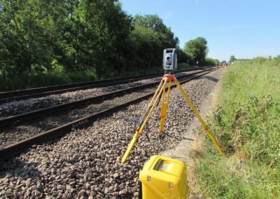
UAV surveys collect data using small remotely piloted aircraft systems, otherwise known as unmanned aerial vehicles (UAVs). PBH UAV operational platforms can be legally flown in wind speeds up to 20mph, and at heights up to 400ft.
UAVs will be operated within line of sight of the pilot, or within 500m, whichever is the lesser of the two. PBH Surveys operate UAVs under a Permission for Commercial Operation (PfCO) with the Civil Aviation Authority (CAA), with permission to operate multi-rotors (?20kg).
The platforms currently utilised to carry out work is either –
- A) A multi rotor UAV with a payload operating a 100mp camera, or
- B) A multi roto UAV with a 20mp camera/HD .mp4 video recorded
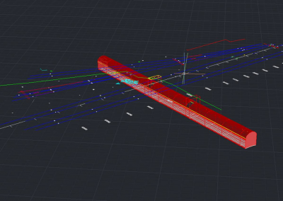
UAV Surveys are a fantastic way to record orthomosaics and detailed 3D models of areas where poor quality, outdated or limited data is available.
Recent Projects
Here are a couple of key projects we are perticularly proud of.

Client Testimonials
Here are a couple of testimonials our clients have written.